

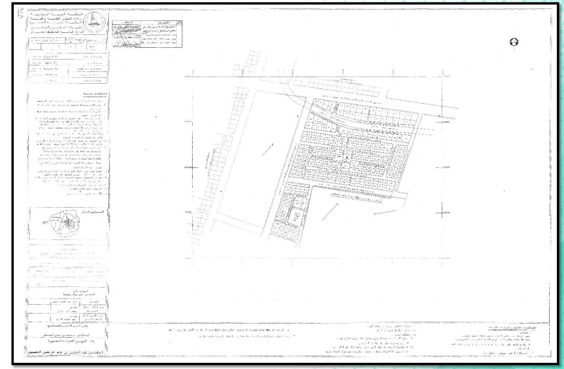
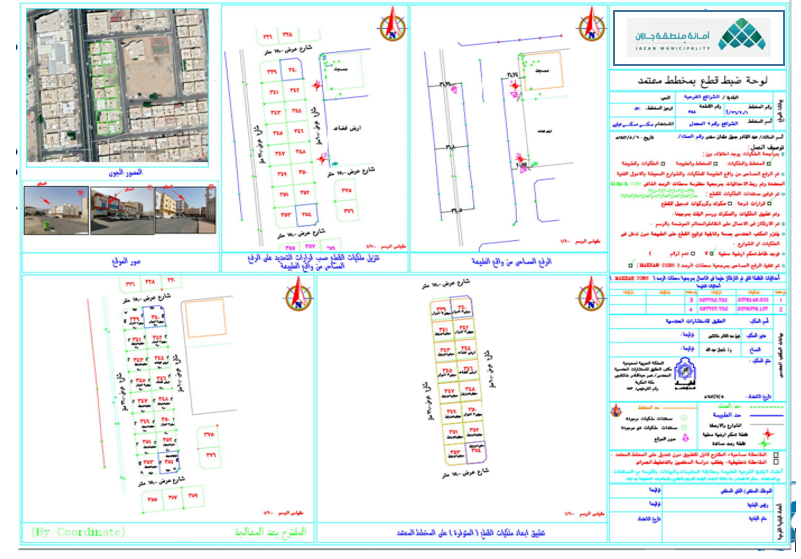
Comprehensive development for Jazan Municipality project
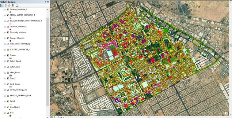
Surveying charts within the Jazan region's geographical scope, preparing VRS monitoring reference stations to cover the Jazan region geographically, and producing base maps of geographic information systems for the Jazan region.
Establishing a geospatial portal for the benefit of the Municipality, and finally developing the GIS center and updating programs, devices, and servers. 2012 (subcontract with Al-Ittihad Engineering Khatib & Alami Company for the benefit of the Municipality of Jazan).